- Overview
- Know Before You Go
- Getting There
- Itinerary
Overview
Biking the Gulf Islands is a choose-your-own adventure type of trip. I set the trip length at six days, but you could do anything from a weekend to a multi-week trip, depending on how many islands you visit and how long you stay on each island. I initially planned for one night on each island, but between ferry schedules and two-night minimums (even at campgrounds), you might need to plan for more.
My itinerary was partly driven by the lack of ferry options on Sundays. I originally planned to spend one night on each island for a total of four Gulf Islands only to find that on Sundays, I couldn’t get a ferry from one island to another. I ended up spending two nights on Salt Spring island.
This trip sticks to the southern Gulf Islands, but there are more islands that you can reach from Nanaimo, Comox, and Powell River. In future years, I hope to take more trips that combine rides on the Sunshine Coast, Vancouver island, and other Gulf Islands.
For this trip, I relied heavily on the information provided on the Hike, Bike, Travel blog, and later found some useful tips on Her Wild Way. I also used the routes from Let’s Go Biking Vancouver Island, Gulf Islands, and the Sunshine Coast. I recommend reading through the guides when planning your trip. Hike, Bike, Travel is particularly good for fun biking itineraries on the islands.
- Let’s Go Biking Vancouver Island, Gulf Islands, and the Sunshine Coast
- A Guide to Cycling the Gulf Islands in BC
- Her Wild Way – Gulf Islands
- BCFerries sailing schedule
Know Before You Go
- On the Gulf Islands, knowing the ferry schedule is critical. I spent hours scouring the schedules to make my itinerary, and I looked at the wrong ferry schedule multiple times. The schedule is different for every season and every day. I also found the BCFerries website difficult to navigate, so I saved direct links to each of the routes I planned to use.
- The Gulf Islands have very limited lodging and camping options. Most islands have at least one campground, but it might not have water and might require a reservation. All the islands have at least one B&B or hotel, but because of limited options, they fill up. Normally I don’t like to make too many lodging or camping reservations, but on the Gulf Islands, it’s critical to have a plan for where to stay.
- Unlike in Washington and Oregon, the British Columbia campgrounds don’t have hiker/biker sites. If you show up at a campground on a popular night without a reservation, there’s no guarantee you’ll be able to stay there. Some of the campgrounds also don’t have water.
- You might want to spend two nights (or more) on one island, either due to lodging availability or two-night minimums. In some cases, you can take a day trip from one island to another, so you can stay on one island multiple nights, and use the extra days to tour a nearby island. Be sure to know the ferry schedule, though, because you don’t want to get stuck on the wrong island.
Getting There
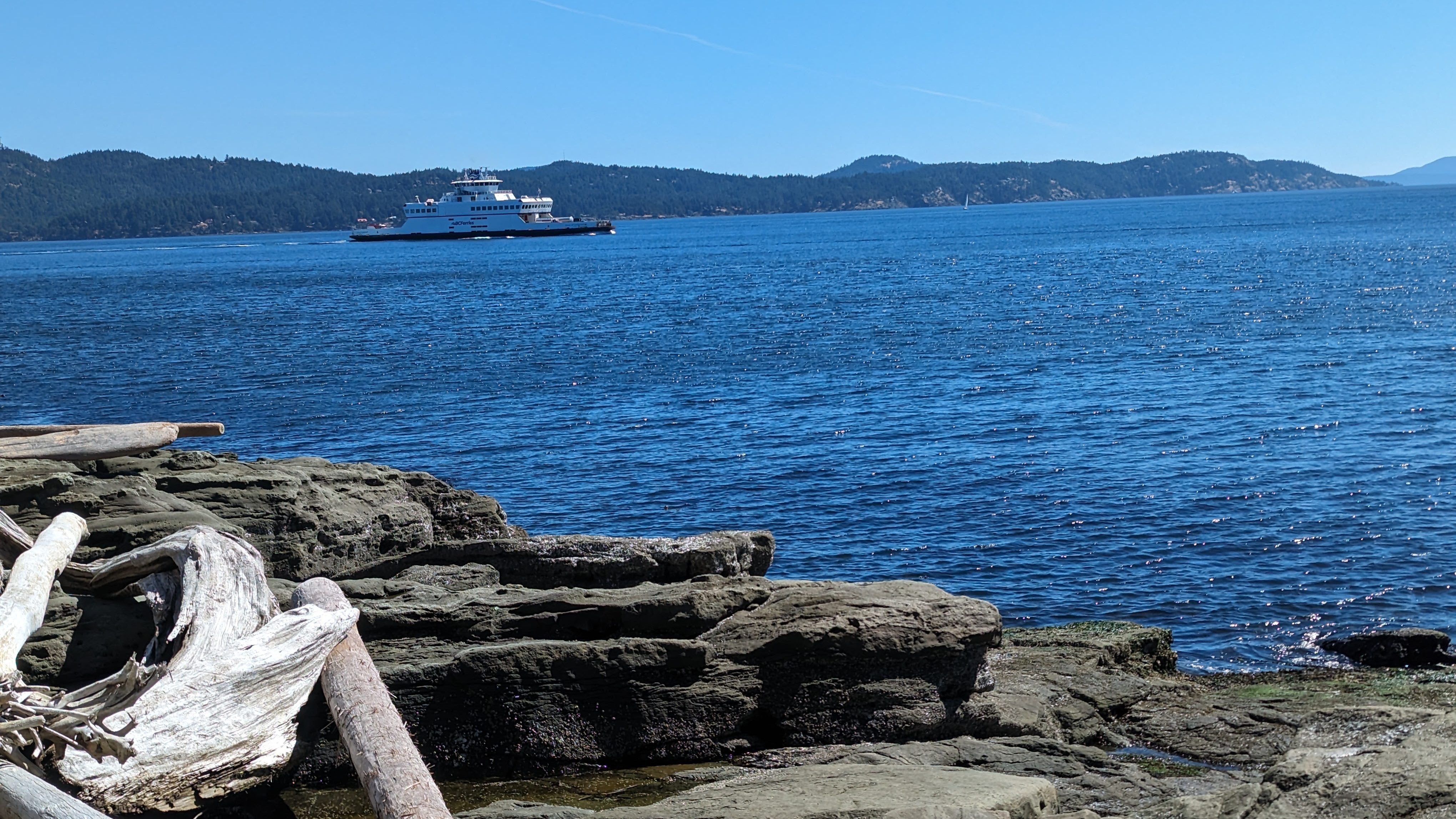
You can start from either Vancouver or Victoria. If you start in Vancouver, you might need to first take a ferry from Tsawwassen to Schwartz Bay on Vancouver island, and then onward to the Gulf Islands. At the time of writing, the only direct ferry from the Tsawwassen ferry terminal to the Gulf Islands goes to Galiano island. If you start from Tsawwassen but go to a different island, buy a thru fare that stops in Schwartz Bay. The connection is pretty easy, and the ferries are generally on time (unlike the Washington State ferries).
Vancouver
To get to Vancouver, I took an Amtrak bus from Seattle to Vancouver. You can also take the Amtrak train, but the schedule is limited, and the train generally runs during commute times. Also, the train can get delayed for all sorts of reasons, such as another train breaking, or a car driving onto the tracks and getting hit. On the bus, they put the bikes under the bus in the luggage area. Be sure to add a bike to your ticket to ensure that they have enough space for it.
The Amtrak station in Vancouver is about 25 miles north of the Tsawwassen ferry, and because bikes aren’t allowed in the George Massey tunnel, you need to take a bike shuttle through the tunnel if you don’t want to add a very long detour to your route. I found a good bike route on Ride with GPS. When I took the shuttle, it ran once an hour, with the last shuttle at 6 PM, but those hours vary depending on the time of year.
You can also bike to Horseshoe Bay and take a ferry from there to Nanaimo, but the ride from Nanaimo to Crofton, where you can catch a ferry to Salt Spring Island, isn’t better than biking to Tsawwassen.
After spending the day getting up to Vancouver, I decided not to try to get to the islands the same night, and I spent the first night in a hotel near the Tsawwassen ferry.
- Amtrak Cascades
- Vancouver to Tsawwassen bike route (Ride with GPS)
- George Massey Tunnel Shuttle for Cyclists
Victoria
Starting in Victoria simplifies the logistics for this trip. You still need to bike about 20 miles from Victoria to the Schwartz Bay ferry terminal, but the route almost entirely follows the Galloping Goose and then the Lochside trails, and you don’t need to worry about a bike shuttle. Also, the ferry connections from Schwartz Bay to the Gulf Islands are much more plentiful.
To get to Victoria from Seattle, you can take the Victoria Clipper. I have two hesitations about the Clipper. First, the bikes go on the deck, where they get sprayed by salt water. Second, the ferry times aren’t ideal. For the latter concern, I noticed that sometimes the Clipper runs two ferries each way, which greatly improves the scheduling options. Also, some days they have different sailing times (generally Thursdays).
Another option for getting to Victoria is to take the Black Ball ferry from Port Angeles. I took this ferry on my return trip and then spent the last day and half biking on the Olympic Peninsula. I ended the trip with a ride on the Kitsap Fast Ferry from Kingston to downtown Seattle.
Itinerary
- Day 1: Galiano Island
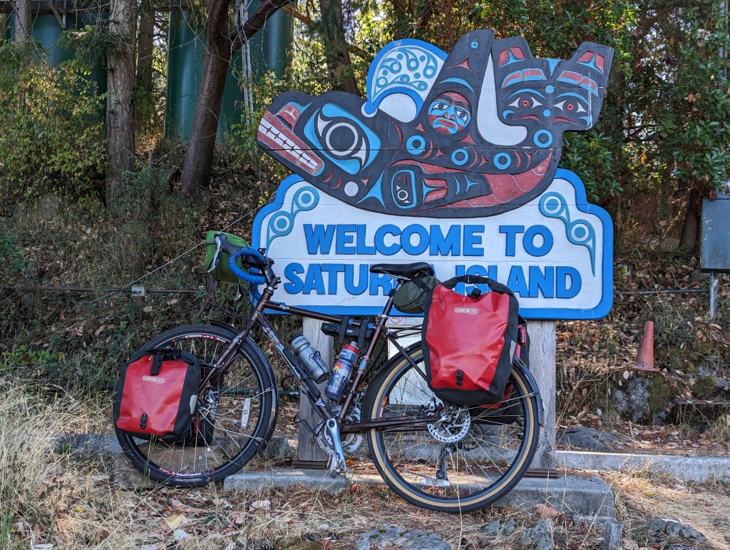
- Day 2: Saturna Island
- Days 3 and 4: Mayne Island
- Day 5: Pender Island
- Days 6 and 7: Salt Spring Island
- Day 8: Salt Spring to Schwarz Bay to Victoria to Sequim
- Day 9: Sequim to Kingston
Day 1: Galiano Island
In reality, I spent the first day of my trip getting from home to the the Tsawwassen ferry and didn’t get to an island until the second day, but it’s nicer to think I might have spent the first day on Galiano island. If you’re planning a trip, take the travel logistics into consideration when deciding how many days you need.
Starting on Galiano island works particularly well when you’re catching the ferry from Tsawwassen. The ferry connection is a bit more complex when you start from Victoria. If you do start from Victoria, you might want to rearrange the order of the island visits.
For maps and island information for Galiano, I used the book Let’s Go Biking Vancouver Island, Gulf Islands, and the Sunshine Coast. The maps aren’t to scale or entirely accurate, but the book is informative, and it gave me the information I needed to plan routes.
Distance
Approximately 40 miles, but the distance varies depending on where you decided to ride.
Cycling Route
Galiano island really only has two main roads, so the bike ride is an out-and-back, but it’s delightful. The main road is studded with art galleries, so consider allowing enough time to stop and peruse the artwork.
Ferry to the campground
- From ferry, L onto Sturdies Bay Rd
- When the road curves left to become Georgetown Bay Rd, stop at the grocery store for food.
- R Montague Rd
- R onto Montague Park Rd, into the park
Campground to the Main cycle Route
Complete route on Ride with GPS: https://ridewithgps.com/trips/194270628
- Leave the park on Montague Park Rd
- L Clanton Rd
- Ride to the end of the island, and then turn around. There’s a public bathroom towards the end of the island.
- If you’re feeling adventurous, you can cut across the island to Bodega Beach Dr
Food
The island has one grocery store and a few small restaurants. The hours of all the restaurants are limited, and many are closed entirely certain days of the week. There are also some serious hills between the campground and the town, so consider how many times you want to bike those hills in the course of one day.
The Daystar Market grocery store is a gem. I suspect most residents buy the bulk of their food off-island, so the grocery store carries a carefully curated selection of items. You might not find what you were expecting, but you’ll certainly find something interesting that you’ll enjoy eating. It closes at 6 PM, so plan you day with enough time to get there before closing.
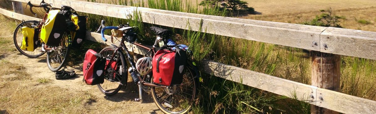
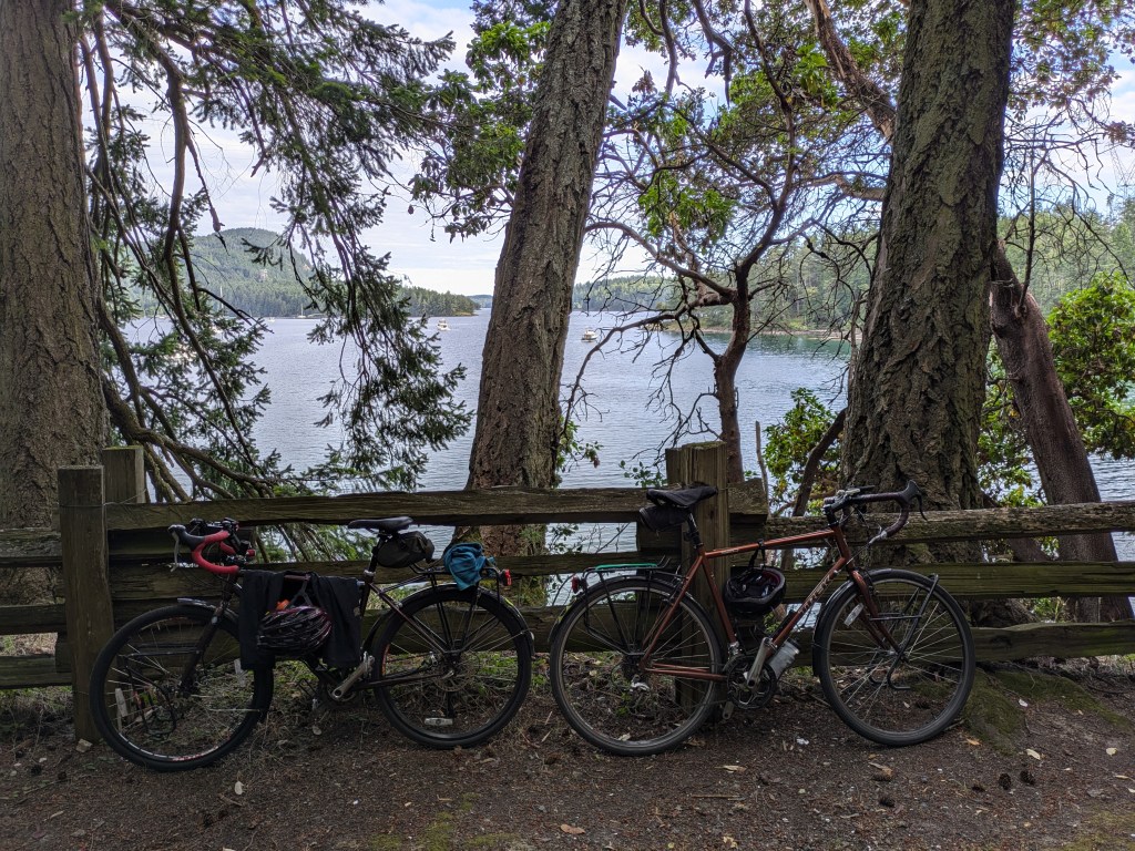
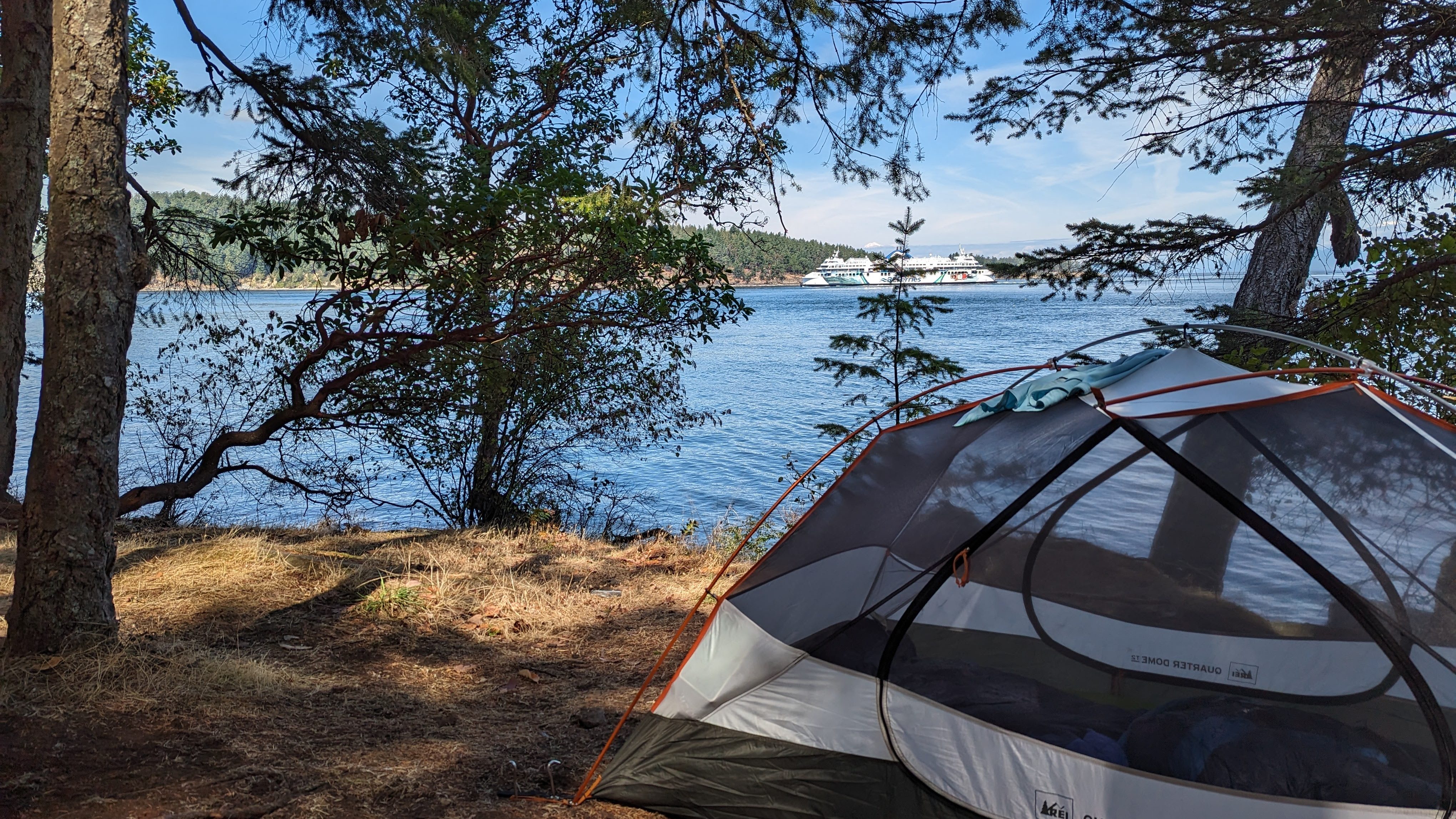
Camping
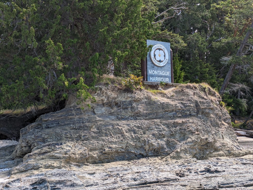
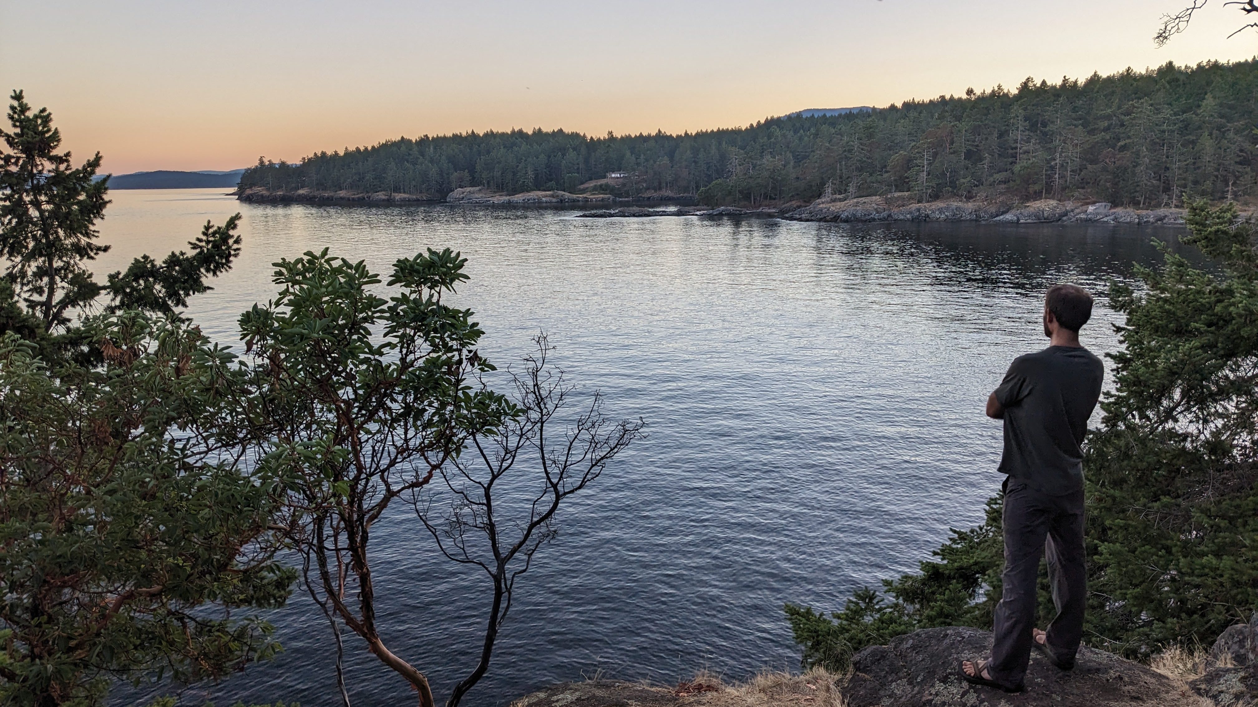
On Galiano island, you should stay at the Montague Provincial Campground, though you probably need to make a reservation in the summer. I decided to spend two nights on Galiano, because I arrived a bit late the first day, and I’m so happy that I did. Montague Provincial Campground is one of the nicest campgrounds I’ve stayed in; it rivals my favorite campground, San Juan County Park. The walk-in sites are on a bluff overlooking the water, and most have great views. The park also has a lovely walking path around the peninsula, which I walked four times during my stay.
Day 2: Saturna Island
Saturna island has two main roads, a bunch of parks, and one hill, which everyone will tell you about. The biking is lovely, with a long stretch along the coast. I recommend buying supplies at the General Store and having a picnic at East Point Park.
We spent a small amount of time walking the beach at East Point Park, only to find that it’s full of snakes, and the snakes are actively hunting for fish. Yes, the snakes swim. The rumor is that these very snakes were filmed by David Attenborough for Planet Earth.

Distance
Approximately 25 miles, but the distance varies depending on where you decided to ride. We went from our B&B to East Point Park, back to Winter Cove, then over to Narvaez Bay. You could also go to the winery on the other side of the island. I hear there are goats.
Cycling Route
This is just a suggested route, based on the directions given on the Hike, Bike, Travel website.
- From ferry, continue up the hill on East Point Road
- Stop at the General Store for food
- L at junction with Narvaez Road to stay on East Point Road
- About 5 km from the ferry, L at the T-junction
- About 1 km to Winter Cove (has toilets and picnic tables)
- Return to the T-Junction and continue straight along East Point Road where it eventually becomes Tumbo Channel Road, about 9 km from the T-Junction
- Take Narvaez Road to the endand visit Narvaez Provincial Park, which is a nice spot for a walk
Food
- The island has one general store, which closed at 6 PM when we were there. The general store sometimes has a cafe in it, but not when we were there.
- The island has one restaurant, the Saturna Lighthouse Pub near the ferry terminal.
- We bought picnic provisions at the general store and had dinner at the pub.
Camping/Lodging
- The island has one public campground: Narvaez Bay Campground. The campground doesn’t have water, but the site is lovely. The campground is a 1 km walk from the parking area, so the actual sites are quiet and secluded. The park has walking trails and a beach where you can swim (but watch out for snakes). It also has an overflow area, so even without a reservation, you should be able to find a site here. I didn’t stay at the campground, because I was worried about not having access to water.
- The Arbutus Point Campground is privately run and right next to the ferry. It has a two night minimum. I didn’t examine it closely, but it looked a bit noisy with sites that are close together. I talked to someone who had reserved a spot there but didn’t like the atmosphere and went to the Narvaez Bay campground instead.
- The Saturna lodge is a lovely B&B near the ferry terminal. It’s an easy walk from there to the Pub. We had the good fortune of getting a room here. The lodge prefers you stay more than one night but will allow you to stay one night for a $25 extra fee.
Day 3 (and 4): Mayne Island
Mayne island is positively bustling compared to Saturna. The island has multiple restaurants, two food trucks, a bakery, and more cars and hills than Saturna. But it’s also tiny. The day we arrived, we spent the afternoon biking around the entire island and still had time to stop at the brewery before dinner. The next day, we had almost an entire day before our ferry, so we enjoyed a quiet morning at our gorgeous campsite and then rented kayaks to see the island from another angle.
Distance
Approximately 25 miles, but the distance varies depending on where you decided to ride. We followed the route from the Mayne Island Guide on the Hike, Bike, Travel blog, stopping at all the suggested parks and talking short walks.
Cycling Route
- From ferry, L on Village Bay Road.
- Continue to the Miners Bay area. Grab lunch at the Sunny Mayne Bakery Cafe.
- Continue along the water on Georgina Point Road to Georgina Point Lighthouse and park.
- Turn around
- L on Waugh Road. Turns into Campbell Bay Road.
- L Fernhill Road.
- Continue on Fernhill Road, which becomes Bennett Bay Road. Take it to the end and enter the Gulf Islands National Park Reserve.
- Return to the junction of Fernhill Road and Gallagher Bay Road.
- L Gallagher Bay Road
- L Horton Bay Road.
- R Beechwood. There is a short hike down off of Beechwood to the shoreline and views over Plumper Sound.
- Return to the intersection of Horton Bay Road and Gallagher Bay Road.
- Go left and follow along for 1.5 km. The road becomes Marine Drive and then Mariners Way. You can visit the Japanese garden, which is on the right as you head down Dinner Bay Road.
- Retrace the route along Dinner Bay Road until it reaches the junction of Dalton Road and Mariners Way.
- L Dalton Road, which takes you back to the ferry.
Food
Mayne island has an actual grocery store, in addition to a bakery, food trucks, sit-down restaurants, and a brewery. We first had lunch at the Sunny Mayne Bakery, and then we had dinner at the The Montrose Local. We bought fruit for breakfast at the grocery store.
The second day, we stopped at the Smoke and Thyme food truck for lunch and had some delicious BBQ. We also managed to make it to the Mayne Island Brewing Company both days, which is a great place to go to hear some local island gossip.
Camping/Lodging
- The Mayne Island Camping campground is an excellent private campground. They generally require a two night minimum, but you can ask if they’ll allow you to stay for one night. The campsites are so beautiful, though, that it would be a great place to spend two nights.
- For non-campground lodging, the island has a few B&Bs, as well as the Mayne Island Resort, a fairly large if a bit snobby hotel. The kayak rentals are located on the resort property. The receptionist didn’t seem particularly happy to have cyclists on the property, even if we did have a legitimate reason to be there.
Day 5: Pender Islands
Pender is really two islands, connected by a bridge. It’s generally straightforward to cycle between the island, but South Pender has one main road, and when it’s under construction, you can get stuck on the wrong side.
I recommend perusing the Hike, Bike, Travel guide to Pender island, because although I didn’t follow it, I enjoyed all their recommendations for the other islands. For choosing a route, I used the book Let’s Go Biking Vancouver Island, Gulf Islands, and the Sunshine Coast. The maps take creative liberty with scale, but they offer decent route guidance and point out some spots to stop and visit.
Distance
The distance varies depending on which route you choose. Plan for between 30 and 45 miles.
Cycling Route
Complete route on Ride with GPS: https://ridewithgps.com/trips/194270629
- From the ferry, L onto Otter Bay Rd
- R Port Washington Rd
- L Clam Bay Rd
- Stop in Hope Bay for chocolate at Pender Chocolates, and other shops
- Continue onto Bedwell Harbour Rd
- Stop at the Tru Value Foods grocery store
- Continue onto Canal Rd
- If you’re staying at Prior Centennial Campground, stop to drop off your stuff.
- Follow Canal Rd on to South Pender
- R Spalding Rd to Growland Point Rd
- Stop at Gowland Point Ocean Access, and then turn around.
- After crossing the bridge back to North Pender, L onto Bedwell Harbour Rd
- R Schooner Way
- L Pirates Rd
- Return to your lodging
Food
The Tru Value Foods grocery store on North Pender island isn’t too far from Prior Centennial Campground, but it is down a very steep hill. If you’re spending the night at Prior Centennial Campground, buy groceries on the way there so you don’t have to ride up the hill twice.
This grocery store is located in the Driftwood Centre shopping area, which also includes the Vanilla Leaf Bakery and the Copper Otter Bar & Grill.
The Pender islands also have a smattering of restaurants scattered around the islands. As with all the islands, restaurant hours are often limited, and restaurants usually close one or more days per week.
Camping/Lodging
- I camped at Prior Centennial Campground, which has water, but no showers. The campground is nice, but not particularly special.
- Right next to the Prior Centennial Campground is the Woods on Pender, which has cabins, airstreams, a motel, and a restaurant. If I return to Pender, I might try to get a reservation here.
- I’ve been told that the Shingle Bay Campground is beautiful, but the park doesn’t have any water.
- If you want a high-end vacation, the Poet’s Cove Resort and Spa looked pretty nice. The setting is spectacular. The location on South Pender makes it a little trickier to get to the ferry.
Days 6 & 7: Salt Spring Island
We spent most of Day 3 on Mayne Island and then caught a 5:15 PM ferry to Salt Spring island (the only ferry running between Mayne and Salt Spring island that day). Because it was a Saturday and we were arriving late, I knew there was no chance that Ruckle Provincial Park would still have available campsites. I’ve heard they put cyclists in an overflow area, but I wasn’t able to confirm that. I actually have no idea how you would find a ranger to learn about the overflow area.
Instead of trying to make our way to the park, we spend the first night in a hotel in Ganges. This choice had a couple of advantages. First, we had a much shorter ride from the ferry to the town, so we didn’t arrive disgustingly late. Second, we were close to a grocery store and to Salt Spring Wild Cider, where we arrived just in time for a quick dinner and cider flight. We also had dinner on the ferry over, which had excellent salad options.
Distance
If you do the full island figure eight loop from the campground, it’s about 45 miles. You can also do shorter loops, or just bike to places you want to see on the island.
- Hike, Bike, Travel has two shorter itineraries that you can follow.
- We did a Salt Spring island figure eight route that we found on Ride with GPS.
Food
Salt Spring island has lots of food options, including:
If you’re staying at Ruckle Provincial Park, you won’t find food options near the park. Though the island is full of delightful farm fresh foods, we bought food at the grocery store in Ganges to have for dinner at the park.
Camping/Lodging
Salt Spring island is full of hotels and B&Bs. Some have two-night minimums, and many fill up on summer weekends.
The clear correct choice of where to stay is Ruckle Provincial Park, which has dozens of first-come, first-serve walk-in sites on the water. These sites absolutely fill up on summer Saturdays, and probably Fridays as well. We spent Saturday night in a hotel in Ganges and then biked over to the park mid-morning on Sunday. When we arrived, the “Campground Full” signs were still up, but we had our pick of campsites.
Day 8: Salt Spring to Schwarz Bay to Victoria to Sequim

You absolutely can end your trip in Victoria and take the Victoria Clipper back to Seattle. When I arrived in Victoria, I really questioned why I wasn’t taking the Clipper home, particularly because it would have given me an extra day on the islands.
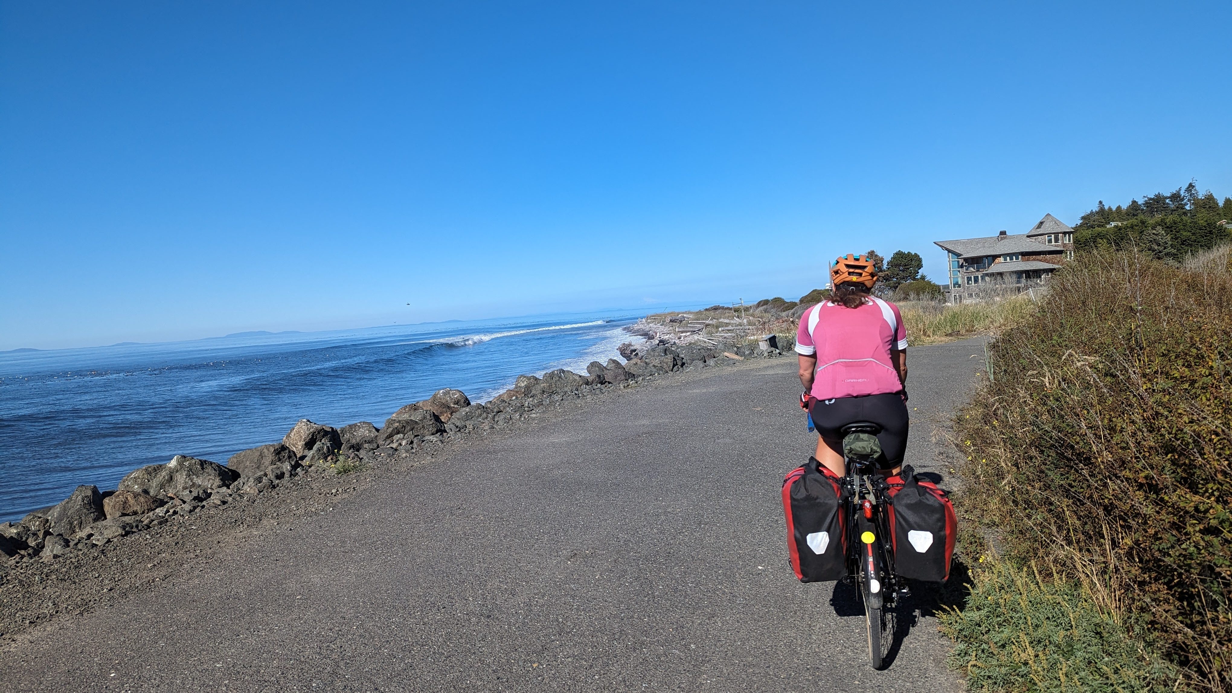
Instead, I took the ferry from Salt Spring island to Schwartz Bay, followed the Lochside trail to the Galloping Goose trail into Victoria, and then took the Black Ball ferry to Port Angeles. From there, I biked to Sequim, where I spent the night at Sequim Bay State Park.
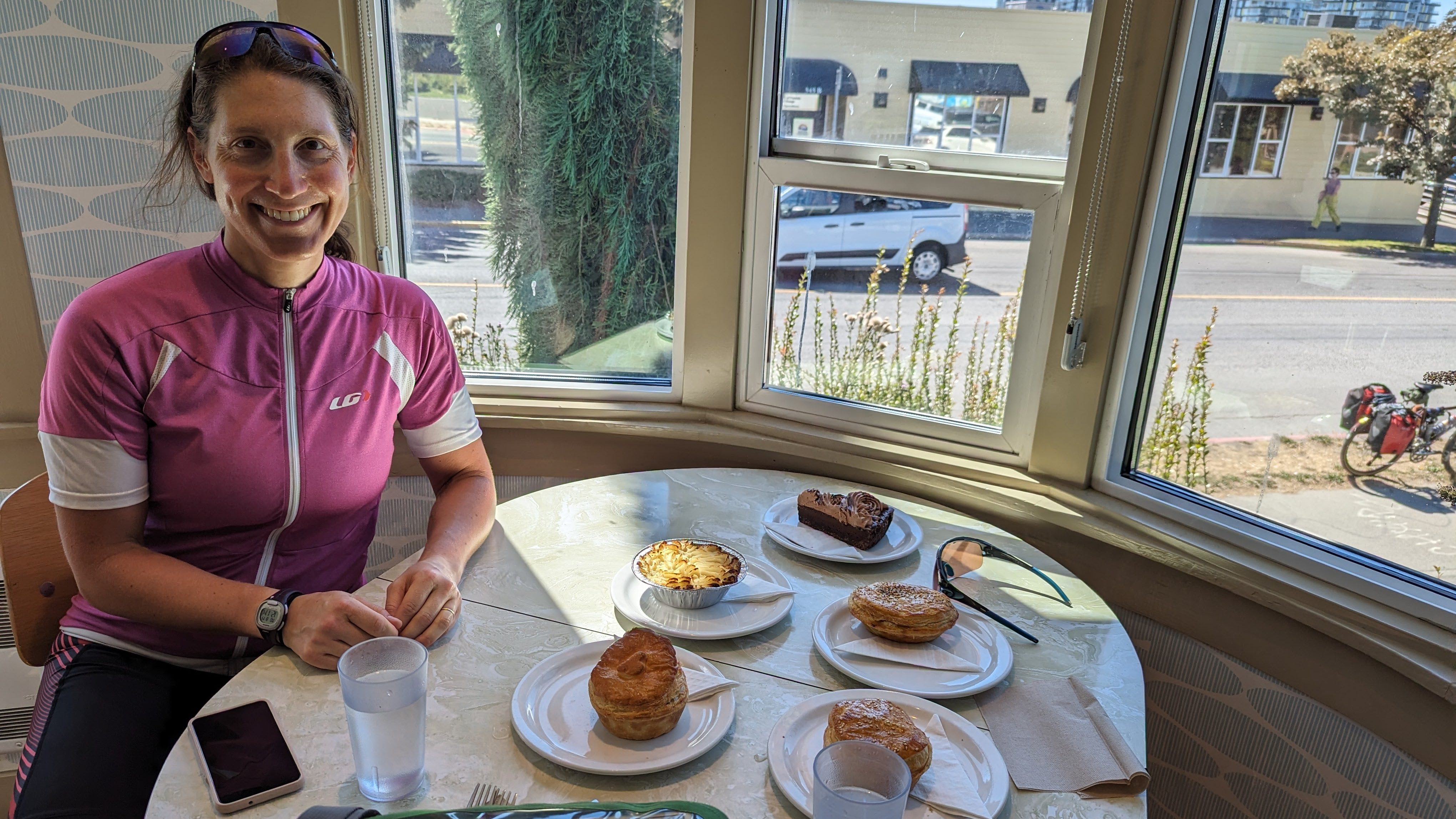
The biking was lovely, and I enjoyed having a bit of time in Victoria while I waited for my ferry. The best part was having lunch at Saltchuck Pie Company.
Distance
We biked about 55 miles, from the campground on Salt Spring island to the Fulton ferry terminal (~5 miles),then from Schwartz Bay to Victoria (~20 miles), and finally from Port Angeles to Sequim Bay State Park (~30 miles). The day felt much longer because of all the ferries.
Once we arrived in Port Angeles, we started following the Adventure Cycling Washington Parks Section 1 map, mostly following the Olympic Discover Trail, which I continue to find disappointing.
Food
We had breakfast at camp, and then lunch in Victoria. You have limitless food options in Victoria, but I recommend Saltchuck Pie Company.
For dinner, you can eat in Port Angeles or Sequim, or you can pick up groceries in Sequim and eat at your campsite. Our ferry got into Port Angeles around 5 PM, and we still had 25 miles ahead of us, so we opted to eat at camp.
You might also want to pick up provisions for breakfast and lunch for the next day at the grocery store in Sequim.
Camping/Lodging
Both Port Angeles and Sequim have hotels, but if you want to camp, the two options are:
Both campgrounds have hiker/biker spots, something I sorely missed in B.C. Sequim Bay is entirely on route, where as Dungeness Recreation Area requires a detour. When we arrived at Sequim Bay State Park, the hiker/biker area was full, but they had a nice overflow area for the cyclists.
Day 9: Sequim to Kingston
I continued to follow the Adventure Cycling Washington Parks Section 1 route, until we crossed onto the Kitsap Peninsula. Then, I headed straight to Kingston, where I caught the fast ferry to downtown Seattle and ended my trip.
Distance
Approximately 55 miles.
Food
Although there are some small restaurants between Sequim and Port Gamble, I wasn’t certain or excited enough about any of them. Instead, I bought food for breakfast and lunch at the grocery store in Sequim the night before. We stopped for a picnic lunch at Anderson Lake State Park. The park has bathrooms but not water.
If it’s open, I recommend stopping at Butcher and Baker in Port Gamble. Kingston also has plentiful restaurant options, and at least one brewery.

